Beech Mountain North Carolina
History
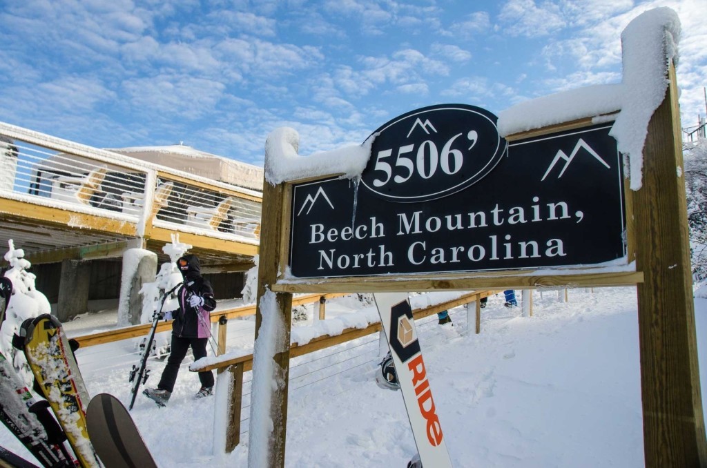
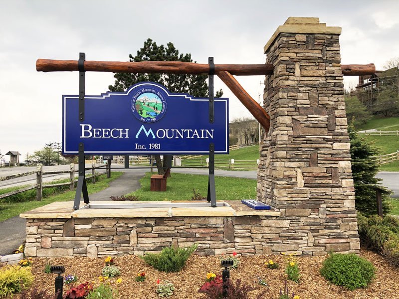
Beech Mountain is a town in both Avery and Watauga counties in North Carolina. As of the 2020 census, the town population was 675. The town is located atop Beech Mountain and is the highest town east of the Rocky Mountains at 5,506 feet in elevation. The nearest municipality at a higher elevation is Des Moines, New Mexico, 1,220 miles away.
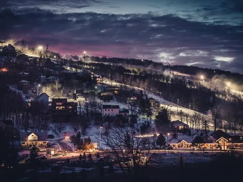
The town relies heavily on tourism, with the population swelling as high as 5,000 in the summer, and up to 10,000 during the peak of ski season. The abundance of outdoor activities, mild summer temperatures (compared to the rest of the southeast), and Beech Mountain Ski Resort make it a popular location for people in North Carolina, South Carolina, Georgia, and Florida to own both summer and winter vacation homes. This is evidenced by the fact that with about 350 full-time residents on Beech Mountain, there were at last count over 2,350 dwelling units on the mountain.
The first known human inhabitants of Beech Mountain were the Cherokee Indians. They called Beech “Klonteska” or the Pheasant. It was a favorite hunting ground due to the bear, deer, and elk living in the area. Arrowheads and broken pottery have been found along the rivers of Beech Mountain, the Meadows area of Beech Mountain, and along the ridges on the northern side of Beech.
Local legend tells of a battle between two Indian tribes on Beech Mountain. One chief had lost so many young men during the fight he hanged himself in despair from the top of the rock pinnacles on Beech Mountain.
The Great Trading Path, which originated in Virginia and stretched across the Carolinas to Georgia, is said to have crossed Beech Mountain. Evidence of this is an old knotted tree marker on top of Beech. Indians would knot a young sapling to point in the direction of their camps to aid other Indians in travel. The Beech Mountain tree marker is one of very few still in existence in the United States. It has grown to over a foot in diameter with a 30-foot trunk spread.
The Great Trading Path originally was an old animal trail that Indians used, and which later white settlers adapted to their needs. A number of major cities throughout the south have grown up along these old trails since these were the places pioneers stopped and finally settled. The Beech Mountain Marker likely helped settlers to find and settle the Watauga and Elk River areas.
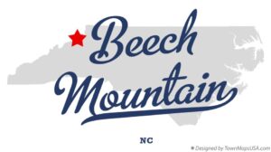
Beech Mountain, North Carolina
| Column 1 | Column 2 |
|---|---|
| Type | Town |
| Incorporated | 1981 |
| Population: | 675 (2020) |
| Elevation | 5,506 |
| Named For | Beech Mountain |
In 1774, the first white settler in the Beech Mountain area was Samuel Bright. Bright helped guide pioneer families from the Yadkin and Catawba River Valleys into the early Watauga settlements. They crossed over the Yellow Mountains on the old Indian trail that later became known as Bright’s Trace.
Samuel Hix and his son-in-law, James Holtsclaw settled on the Watauga River near Valle Crusis. They were only 40 miles from Bright’s Settlement, yet probably never knew of each other’s existence.
During the Civil War, Banner Elk was a stopping point for men who wished to reach Union lines in Tennessee. They would meet in Blowing Rock and move through Shulls Mills, Dutch Creek, and Banner Elk, to Shell Creek, Tennessee where Dan Ellis, known as “Red Fox”, would take them in charge.
In 1864 the Battle of Beech Mountain was fought. A squad of ten men from Tennessee claiming to be Confederate soldiers raided the area, stealing horses and shooting residents. Major Bingham, an officer of the Confederate Home Guard made a retaliatory raid. He took a Union soldier prisoner at Heaton and recaptured the stolen horses. Later they passed through Banner Elk and camped about ½ mile outside of the town on Beech Mountain near Balm. Jim Hartley, a Union Scout, was guarding the trail that led from Blowing Rock to Shulls Mills and saw the campfires. He met with Polly Aldridge who lived on Beech Mountain above the campsite. Together, they worked out a plan.
The development of Beech Mountain began in the late 1960s when local businessmen Harry and Grover Robbins and the Carolina Caribbean Corporation (CCC) purchased more than seven square miles of high mountain land, divided it into lots and subdivisions, created a ski resort, the Land of Oz theme park, a golf course, pool, and tennis facilities, built houses and laid out roads and water and sewer services across the mountain. In 1970, The Beech Mountain Property Owner’s Association (POA) was formed to collect assessments for the maintenance of roads and recreation areas. The organization stepped up when CCC filed for bankruptcy in 1974.
Named For
Beech Mountain
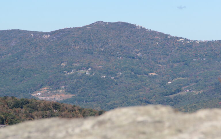
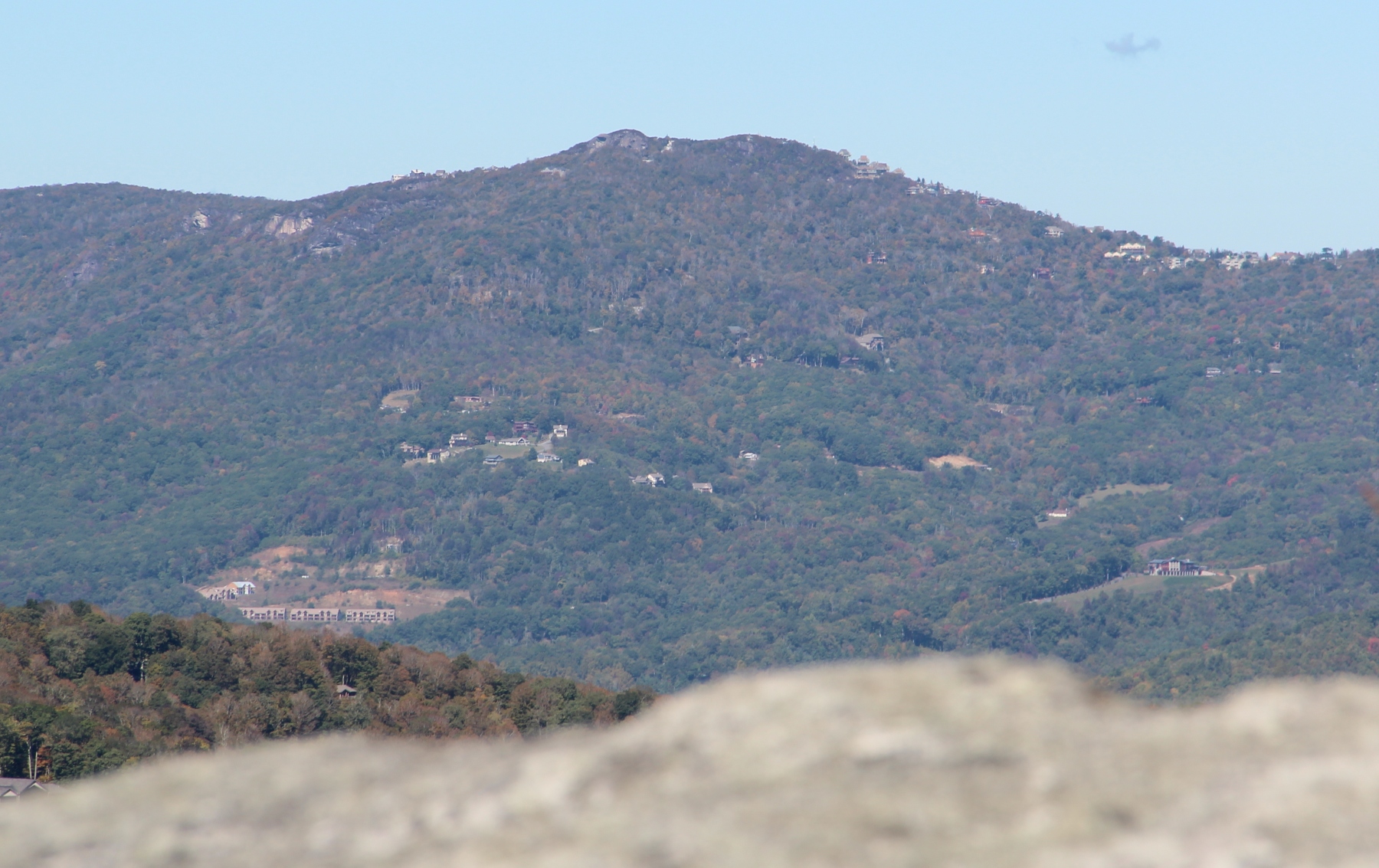
Beech Mountain is a mountain in the North Carolina High Country and wholly in the Pisgah National Forest. Its elevation reaches 5,506 feet and generates feeder streams for the Elk River.
Nestled on the top is the Town of Beech Mountain.
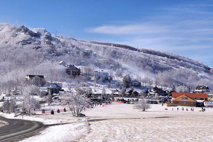
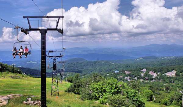
Beech Mountain offers skiing, snowboarding, and tubing in the winter months. In the summer, recreation includes hiking and mountain biking. Beech Mountain Resort runs chairlifts for downhill mountain biking.
One of the more interesting walking areas is the defunct Land of Oz theme park, which existed briefly in the 1970s; remnants of the park can be visited today.
Geography
Location: 36°12′23″N 81°52′59″W
Area – Land: 6.48 sq miles
Area – Water: 0.01 sq miles
Total Area: 6.49 sq miles
Nearby Locations
| Location | Driving Time (hh:mm) | Distance (mi) |
|---|---|---|
| Banner Elk | 00:17 | 6.6 |
| Sugar Mountain | 00:26 | 10.6 |
| Elk Park | 00:27 | 13.3 |
| Cranberry | 00:28 | 13.8 |
| Newland | 00:34 | 18.6 |
Weather
Notable People
Ray Hicks
An Appalachian storyteller who lived his entire life on Beech Mountain, North Carolina. He was particularly known for the telling of Jack Tales.
Frank Proffitt
An Appalachian old-time banjoist who preserved the song “Tom Dooley” in the form we know it today and was a key figure in inspiring musicians of the 1960s and 1970s to play the traditional five-string banjo.
Genealogy
Beech Mountain Nearby Cemeteries
| Cemetery | Memorials |
|---|---|
| Hicks Family Cemetery | 5 |
| Mottern Cemetery | 1 |
| Norris Cemetery | 26 |
| Thompson Family Cemetery | 7 |
Nearby Counties
*Avery County was created February 23, 1911 from Caldwell, Mitchell and Watauga Counties.

